Download Your Village Map Online – Complete Guide to Access Gram Map, Survey Number & Land Records in Karnataka (2026) g 2
In today’s digital era, accessing your village map online is easier than ever. Whether you are a landowner, farmer, property buyer, or someone verifying land records, downloading your Gram map (Village Map) with complete survey number details can save time and prevent legal disputes.
If you are from Karnataka—especially rural areas like Tarikere or other Gram Panchayat regions—this detailed SEO guide will explain:
- How to download village map online
- How to check survey numbers in village map
- How to access Karnataka land records map
- How to verify land boundary details
- How to use official portals like Bhoomi and Survey Settlement
This is a complete 2026 updated guide for accessing village map online in Karnataka.
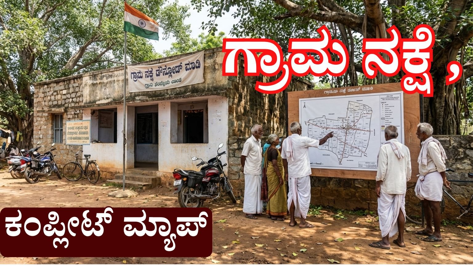
What Is a Village Map?
A Village Map (Gram Map) is an official land survey document that shows:
- Complete village layout
- Survey numbers
- Land boundaries
- Agricultural lands
- Roads, lakes, and government land
- Residential plots
- Public buildings like Gram Panchayat
Village maps are prepared and maintained by the Revenue Department.
In Karnataka, these maps are available through the official land records portal managed by the Government of Karnataka.
Official Portal to Download Village Map in Karnataka
Bhoomi is the official land records portal of the Government of Karnataka.
Through this portal, you can access:
- RTC (Record of Rights)
- Survey number details
- Mutation status
- Village map information
- Land owner details
Website: https://landrecords.karnataka.gov.in
Always use the official government website to avoid fraud.
Types of Village Maps Available Online
When you download a village map, you may find:
1. Cadastral Map
Shows survey numbers and land parcel boundaries.
2. Revenue Map
Shows land classification and ownership type.
3. Satellite Village Map
Shows real-time satellite view with survey overlay.
4. Survey Sketch Map
Detailed drawing of individual survey number.
Why You Need to Download Your Village Map
Downloading your Gram map is important for:
- Property buying verification
- Land dispute resolution
- Agriculture planning
- Bank loan application
- Government scheme benefits
- Boundary confirmation
If you are planning to apply for subsidies or loans, having correct land map documentation is essential.
Step-by-Step Process to Download Village Map Online in Karnataka
Follow these steps carefully:
Step 1: Visit Official Land Records Portal
Go to:
https://landrecords.karnataka.gov.in
Select Bhoomi services.
Step 2: Select “View RTC & MR”
Choose your:
- District
- Taluk
- Hobli
- Village
Enter your Survey Number.
Step 3: Access Survey Documents
You will see:
- Owner name
- Survey number
- Land type
- Extent of land
- Mutation details
Some maps may require small service fee payment.
Step 4: Download Survey Sketch
If available, select “Survey Sketch” or “Village Map” option.
Download in PDF format.
How to Check Village Map Through Survey Settlement Portal
Survey Settlement and Land Records department maintains cadastral maps in Karnataka.
You can:
- Search by village name
- Check survey boundary
- View detailed land division
This is especially useful for farmers and land buyers.
How to Check Village Map Using Mobile
Many users search:
“how to download village map in mobile”
You can:
- Open official portal in Chrome
- Use Desktop mode if needed
- Enter survey number
- Download PDF
Always ensure you are on official website.
Information Available in Village Map
When you download your village map, you will find:
- Survey number
- Sub-division number
- Land owner name
- Total land area
- Road access
- Irrigation source
- Neighboring survey numbers
- Government land boundaries
This is very important for legal verification.
How to Identify Survey Number in Village Map
Survey number is the most important element.
To identify:
- Look for numbered land blocks
- Each block is marked clearly
- Cross-check with RTC document
If confusion arises, visit local revenue office.
Benefits of Online Village Map Access
1. Time Saving
No need to visit taluk office.
2. Transparency
Clear government data reduces fraud.
3. Legal Safety
Helps avoid property scams.
4. Digital Record
Easy PDF download and storage.
Common Problems While Downloading Village Map
Website Not Opening
Try during non-peak hours.
Survey Number Not Found
Check correct spelling of village.
Payment Failure
Use stable internet and retry.
Map Not Available
Some villages may not be fully digitized.
Village Map for Property Buyers
If you are buying land in Karnataka:
Always check:
- Survey number match
- Extent of land
- Boundary alignment
- Road access
- Government land encroachment
Never rely only on seller documents.
Village Map for Farmers
Farmers can use Gram map to:
- Plan irrigation
- Confirm boundary
- Apply for crop loan
- Apply for PM schemes
- Check neighboring survey details
Village map ensures land clarity.
Village Map for Government Schemes
Many schemes require:
- Survey number proof
- Land extent details
- Land category proof
Village map + RTC helps in:
- Housing subsidy
- Agriculture subsidy
- Crop insurance
- Loan waiver
Is Village Map Free?
Some services are free.
Some detailed survey sketch downloads may require:
Small government fee (usually minimal).
Always download from official portal only.
Difference Between RTC and Village Map
| Feature | RTC | Village Map |
|---|---|---|
| Owner Details | Yes | Limited |
| Survey Boundary | No | Yes |
| Land Area | Yes | Yes |
| Visual Map | No | Yes |
Both documents are important.
Important Tips Before Downloading
- Double check district selection
- Use correct survey number
- Keep RTC copy ready
- Save PDF securely
- Avoid agents
Frequently Asked Questions (FAQ)
1. Can I download village map without survey number?
Mostly survey number is required.
2. Is village map legally valid?
Yes, if downloaded from official government portal.
3. Can I check neighboring survey number?
Yes, village map shows nearby land parcels.
4. What if my survey number is missing?
Visit Revenue Inspector office.
Offline Method to Get Village Map
If online not available:
Visit:
- Taluk Office
- Village Accountant
- Survey Department Office
Carry:
- Aadhaar
- RTC copy
- Survey number details
Safety Warning
Never:
- Share OTP with anyone
- Use unofficial websites
- Pay agents without receipt
Always use Karnataka Government official portal.
Apply Link
Downloading your village map online in Karnataka is now simple and transparent. Whether you are a farmer, landowner, or property buyer, accessing your Gram Panchayat village map with survey number details ensures legal safety and accurate land verification.
Use the official Bhoomi portal to download:
- Survey map
- Village layout
- Land boundary details
- Owner information
Digital access to land records has improved transparency and reduced corruption. Make sure you always verify your land documents before any transaction.